


Asbestos-bearing rocks and soil observed in the Tongwane River and along its banks near Success village, Ga-Mathabatha, Limpopo Capricorn.
The research found that nearly half of surveyed residents are unaware of locations with high asbestos concentrations
By Johannes Selepe -mosela.selepe@ul.ac.za
For years, residents of Ga-Mathabatha in Limpopo’s Capricorn District have lived with asbestos in their midst, often unaware of where the hazardous mineral is concentrated or the risks it poses
As part of efforts to assist communities, University of Limpopo (UL) researchers have mapped areas with high asbestos concentrations, finding that almost half of the residents surveyed were unaware of where the danger lay.
The recent study, published in Minerals, was conducted by UL academics affiliated with the Department of Geography and Environmental Studies, and the Department of Geology and Mining namely: Manuel Thobejane, Clodean Mothapo, Hector Chikoore and Prof Fhatuwani Sengani, who led the research. (Minerals is an international, peer-reviewed, open access journal of natural mineral systems, mineral resources, mining, and mineral processing, and is published monthly online by MDPI.)
Prof Sengani said the study was prompted by the need to better understand the distribution of asbestos and the level of awareness among communities living in affected areas.
“The primary aim of the research was to establish where asbestos-bearing materials are concentrated and understand how much residents know about the potential risks associated with exposure,” said Sengani.
The researchers used satellite imagery, remote sensing, geographical information systems (GIS) and field observations to examine the distribution of asbestos while assessment of residents’ awareness of potential asbestos risks was done through community surveys.
The study identified areas with high concentrations of chrysotile asbestos in the eastern part of the study area and tremolite asbestos in the south. Field observations also confirmed asbestos-bearing material along riverbanks and in surrounding villages.
A survey of 250 residents found that 45.6% were unaware of areas with high asbestos concentrations in Ga-Mathabatha.
Prof Sengani said the findings showed the need for communities to have better information about asbestos in their surroundings so that they can take necessary precautions to avoid exposure.
“The level of awareness is a concern, particularly where people’s daily activities may bring them into contact with asbestos-bearing materials,” he said.
The study examined possible exposure through activities involving livestock, former mining areas and water sources.
Researchers identified asbestos-bearing material at several sites, including Makapeng, Moleke, Maseleseleng, Success, Masioneng, the Olifants River, Mphogodima River and Tongwane River.
According to Prof Sengani, the findings further point to the importance of combining scientific mapping with information from communities.
“While mapping these areas gives us a clearer picture of where asbestos is concentrated, it is equally important to raise community awareness so that people understand the risks associated with these areas,” he said.
The researchers recommend targeted education and awareness programmes for communities living near asbestos deposits, particularly for people whose daily activities may increase their contact with asbestos-bearing material.
Prof Sengani said the research should help strengthen conversations between researchers, communities and authorities about managing areas affected by asbestos.

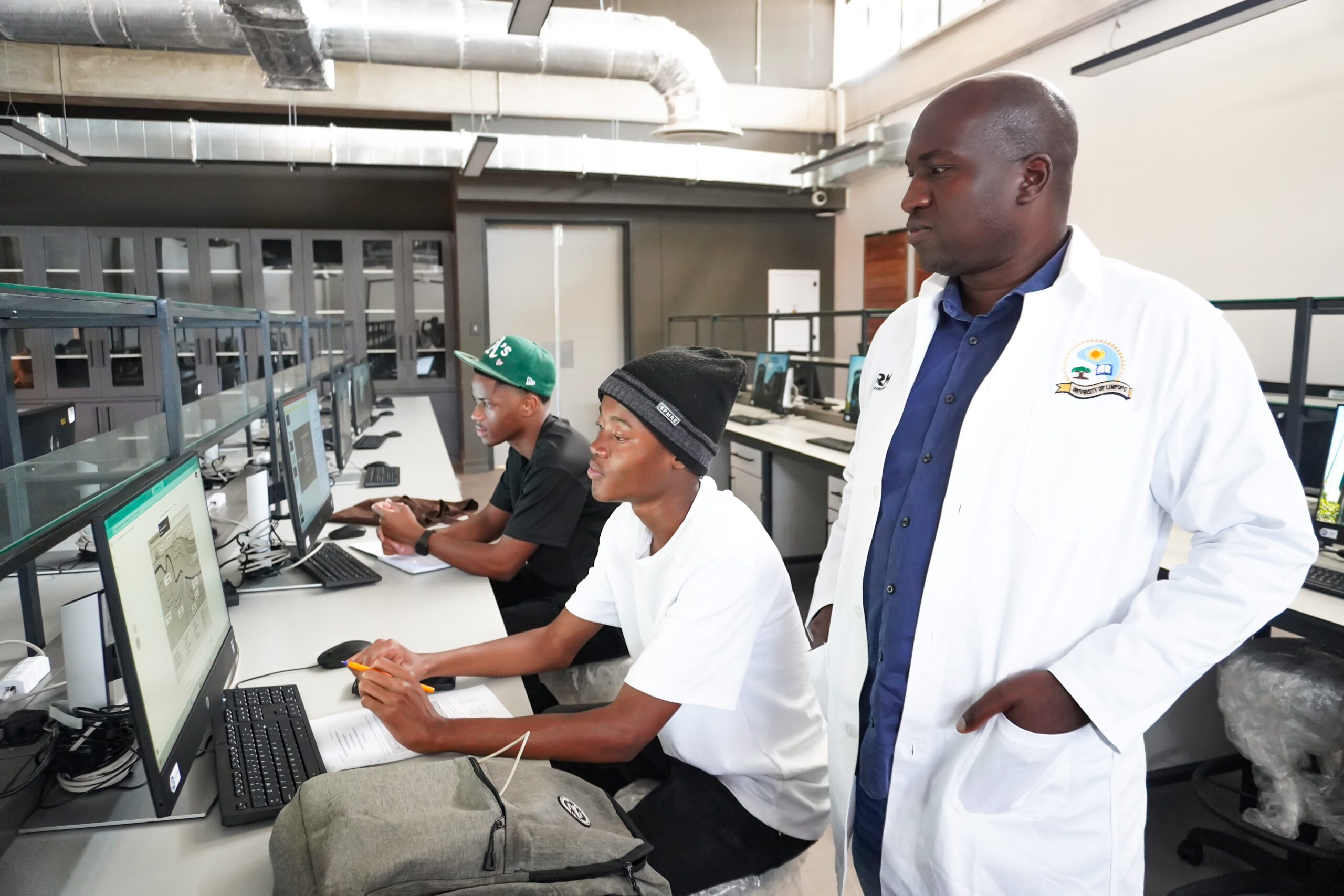
Prof Fhatuwani Sengani from the Department of Geology and Mining at UL, who led the research. Photo: Lesley Raphiri
“The findings can assist communities and authorities in identifying areas of concern and considering measures to reduce potential exposure,” he said.
Ga-Mathabatha has a history of asbestos mining, and the study highlights continuing environmental concerns associated with areas where asbestos deposits remain.